Cutting-edge Imaging Solutions
High-Precision Imaging & Surveying for Smarter Engineering Decisions
Cutting-edge Imaging Solutions
25
Our Services
High-Precision Imaging & Surveying for Smarter Engineering Decisions
What we offer
Every successful project begins with our professional design services
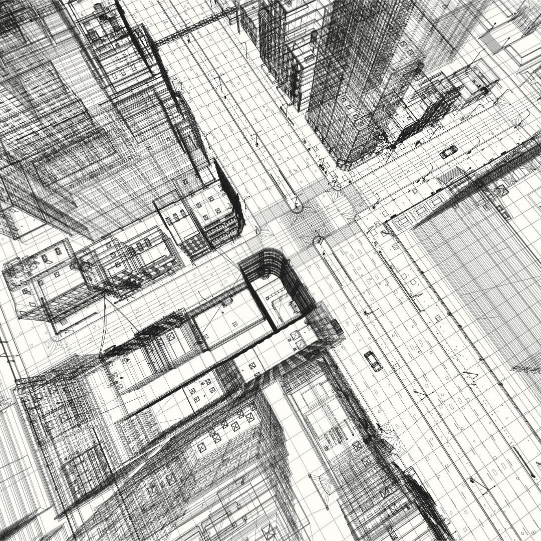
Capture high-resolution images to generate accurate 3D models of structures and terrains

Use of imaging data to assess cracks, deformations, and surface defects in existing structures.

Fast, safe, and cost-effective aerial imaging for large or hard-to-access sites.

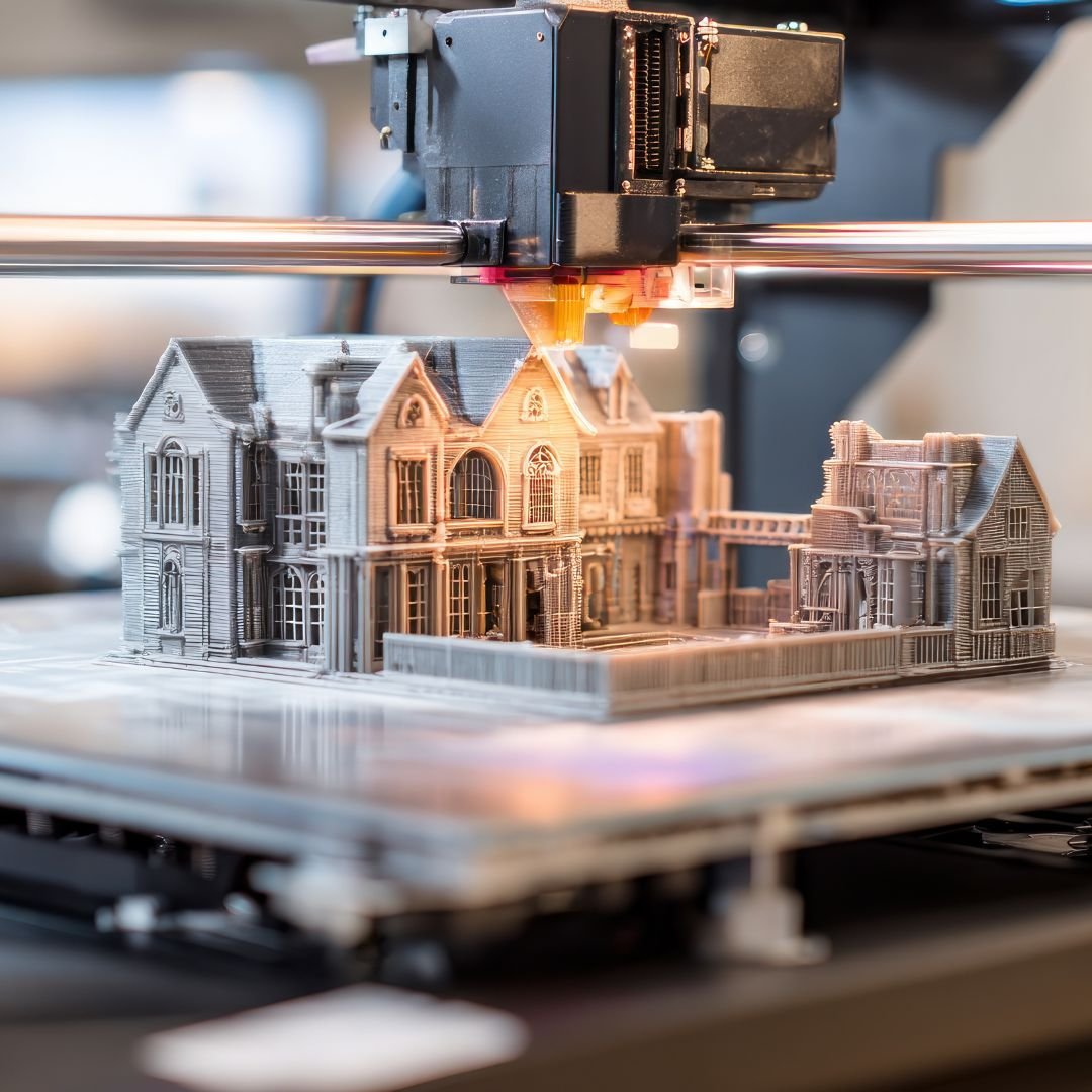
High-precision 3D scanning for detailed measurements and digital twin creation.

Generation of accurate site maps for planning, design, and construction.

Seamless linking of survey data to BIM and GIS platforms for design and asset management.

Eco Twin 14’s imaging and surveying solutions deliver accuracy, safety, and efficiency at every stage of a project. Whether you need detailed 3D mapping, drone-based surveys, or BIM/GIS integration, our team ensures data you can trust.
Why Choose Us
Why Choose Eco Twin 14 for Imaging & Surveying?

Expertise
Our Imaging & Surveying Expertise
Capture high-resolution images to generate precise 3D models of structures and terrains, enabling accurate assessments and visualizations.
Use of imaging technologies to assess cracks, deformations, and surface defects in existing structures, supporting maintenance and safety planning.
Fast, safe, and cost-effective aerial imaging for large-scale or hard-to-reach project sites, reducing time and resources compared to traditional surveys.
High-precision 3D scanning for detailed measurements, digital twin creation, and structural documentation with exceptional accuracy.
Generation of accurate site maps to support planning, design, construction, and land development activities.
Seamless linking of survey data with BIM and GIS platforms for advanced design coordination, asset management, and decision-making.