Delivering innovation, precision, and sustainability across engineering and construction.
Engineering Excellence with Purpose
We deliver sustainable engineering solutions that inspire progress and lasting impact.
Who we are
Your Trusted Partner in Engineering & Design
At ECO TWIN 14, we are more than just an engineering consultancy — we are a team of innovators, problem-solvers, and visionaries committed to shaping a sustainable future. Established with the mission of delivering quality projects on time, our expertise spans across architectural design, civil and structural engineering, project management, and advanced digital solutions.
Shaping the Future of Engineering
Delivering sustainable, high-quality solutions that stand strong for generations.
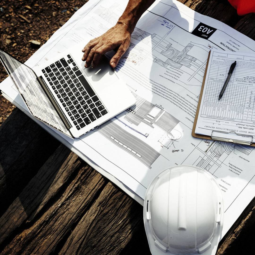
At ECO TWIN 14, we provide a complete range of engineering, design, and consultancy services, ensuring every project is delivered with quality, efficiency, and sustainability.
Quality is at the heart of Eco Twin 14. We follow stringent quality assurance standards, ensuring that every project aligns with local and international codes, safety measures, and sustainable practices. Our team continuously innovates through research and development in construction technologies to deliver future-ready solutions.
Our Vision
To be a trailblazer in the engineering industry, driving the adoption of transformative technologies and setting new standards for efficiency, precision, and sustainability.
Our Mission
To deliver innovative engineering solutions that harness cutting-edge technologies, uphold the highest standards of precision and efficiency, and promote sustainable practices—empowering clients and communities while shaping the future of the industry.
What we offer
Shaping Success Through Our Services
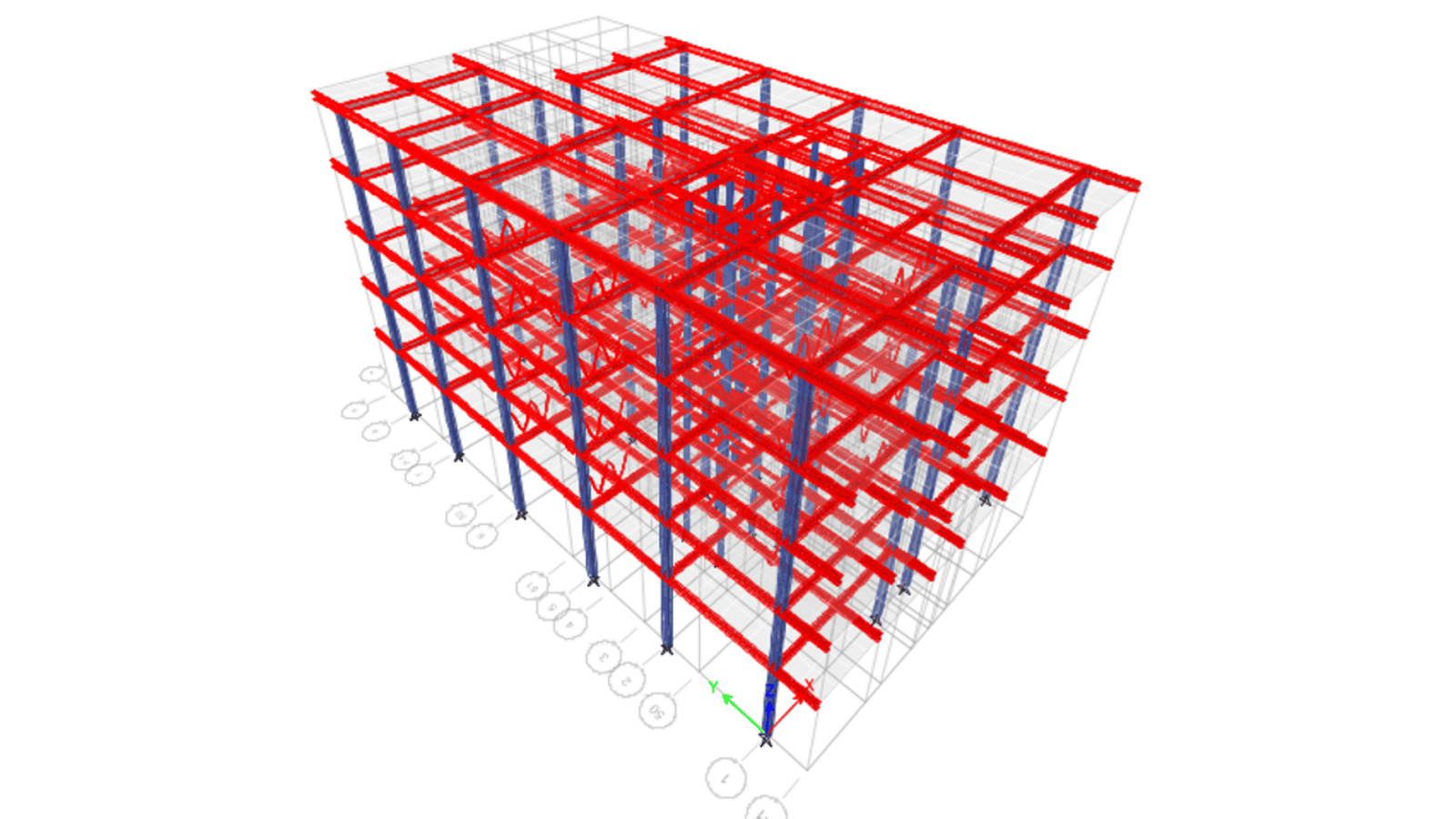
Civil, Structural & Building Services Engineering Consultancy
Deliver comprehensive efficient, and high-quality engineering solutions across all phases of design, development, and construction of projects.
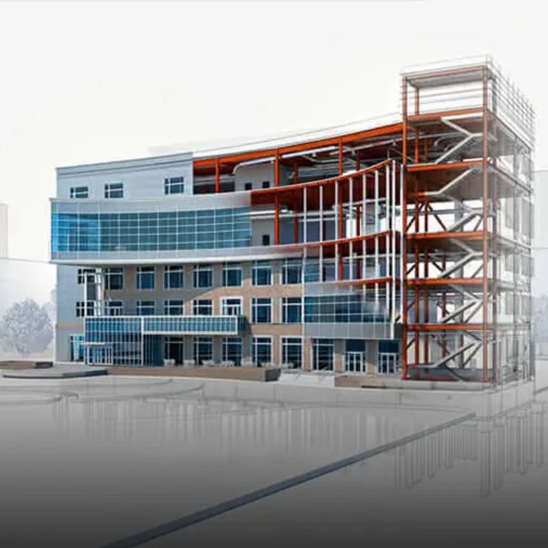
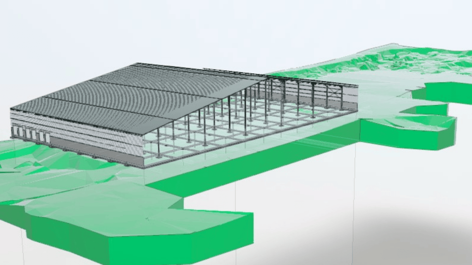
By integrating architecture, engineering, and construction data into a unified digital platform, we empower stakeholders with better decision-making, power.
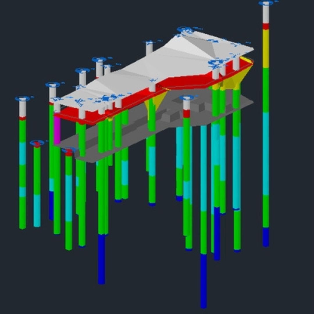
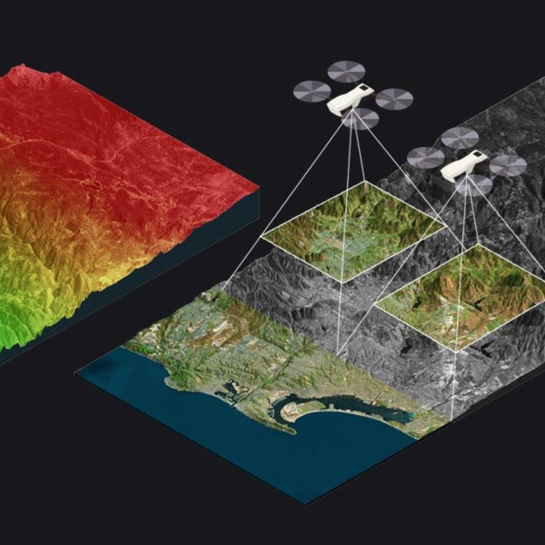
Cutting-edge Imaging Solutions for Structures & Surveying Solutions:
Offer state-of-the-art imaging solutions for structural analysis through photogrammetry to create detailed 3D models, enabling accurate assessments of existing structures, ensuring precision in design.
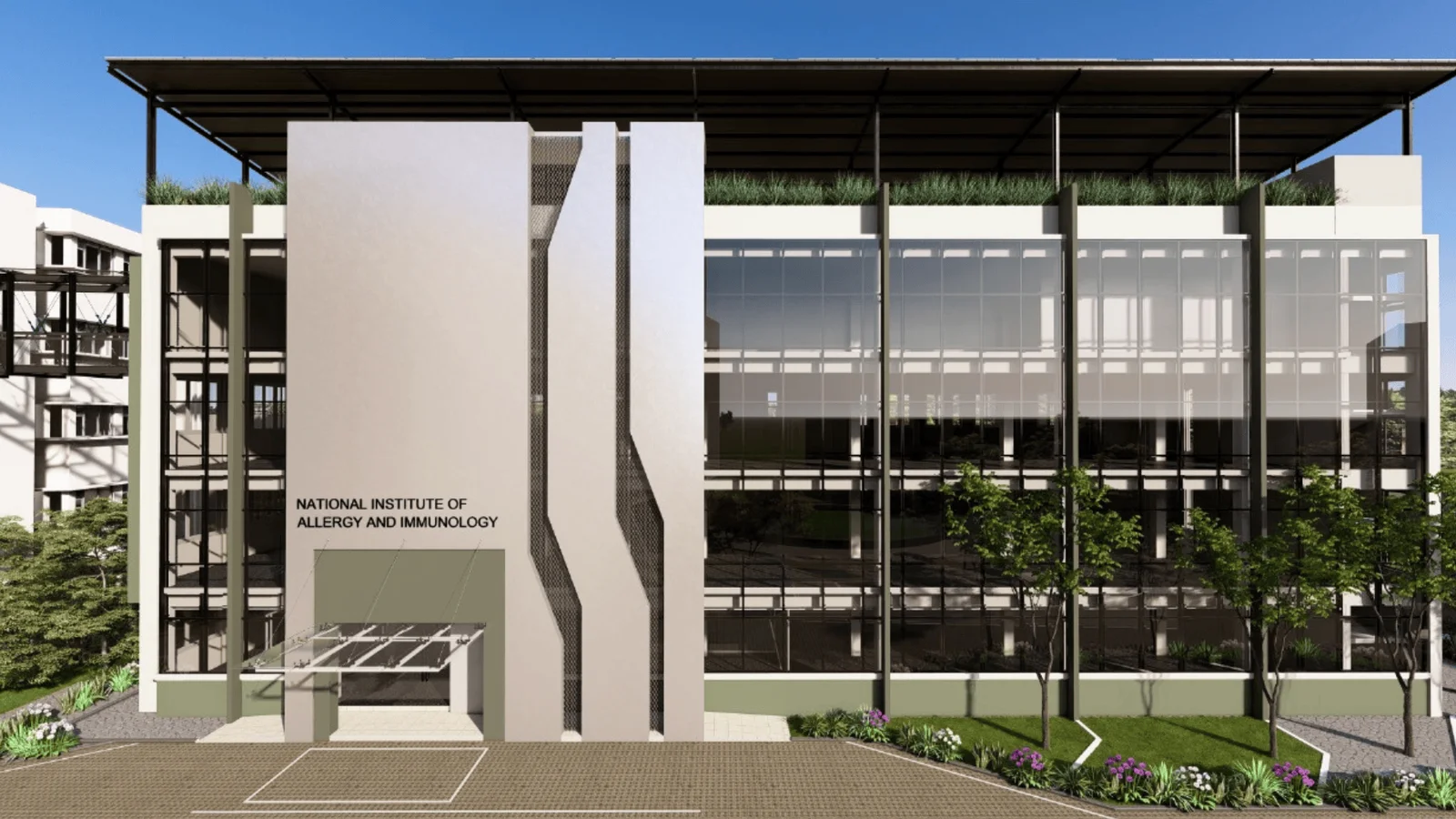
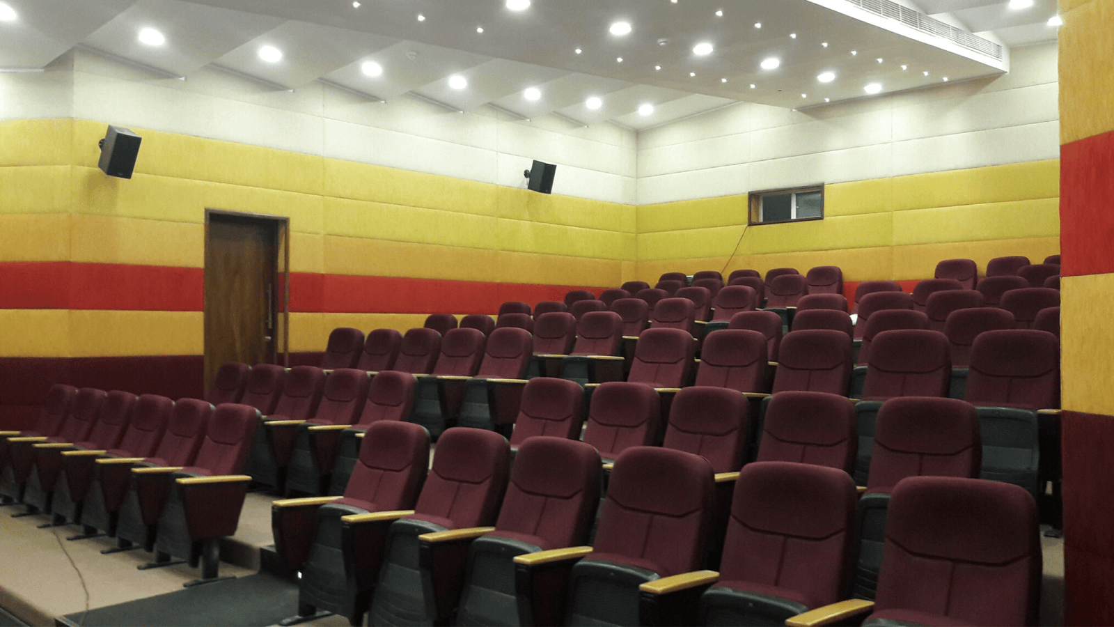
At Eco Twin 14, every project reflects our dedication to quality, sustainability, and engineering excellence. From modern infrastructure to heritage conservation, we deliver solutions that combine innovation, functionality, and environmental responsibility.
Delivering World-Class Engineering Solutions Across Borders
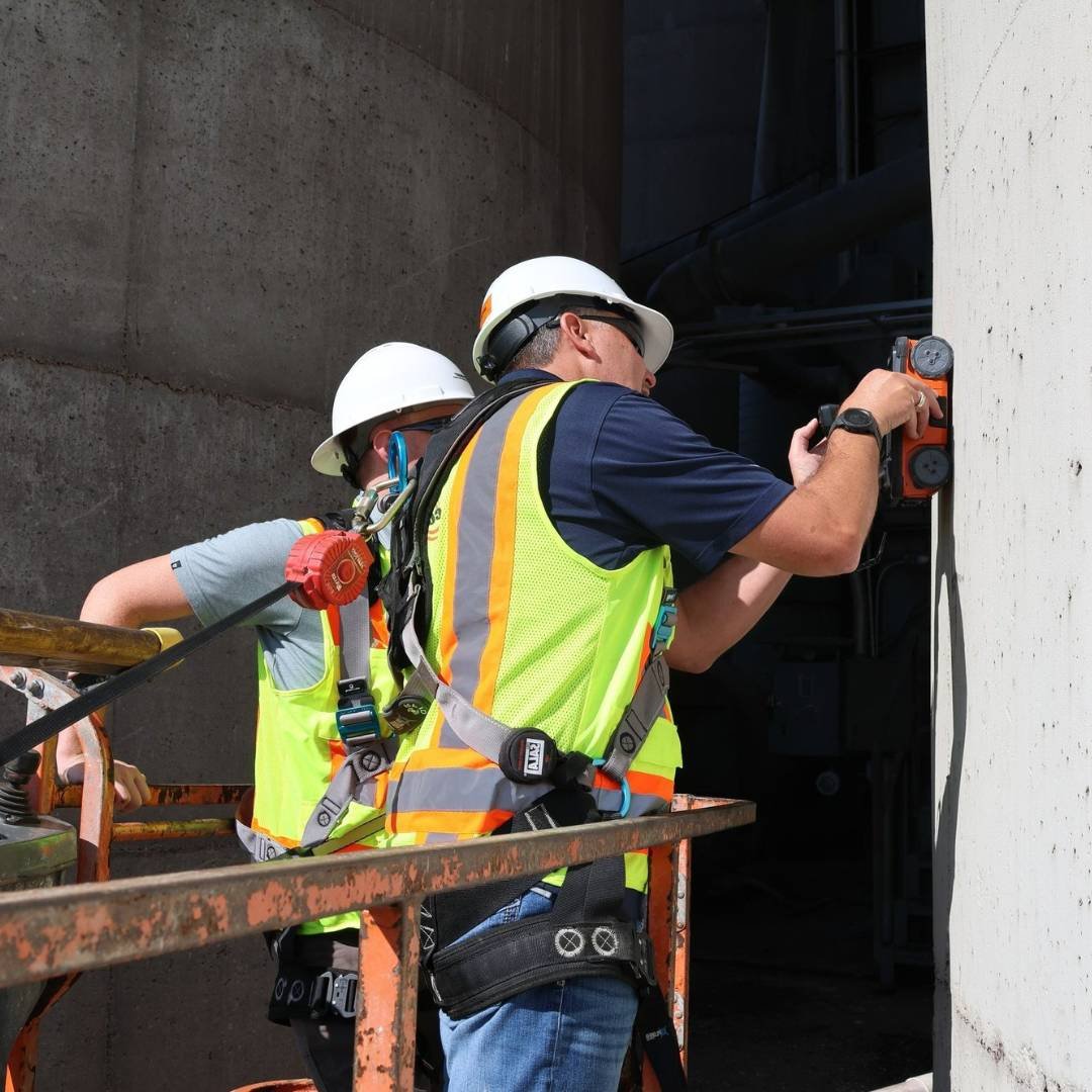
At Eco Twin 14, our Engineering BPO capabilities extend your team with precision, speed, and global-standard expertise. While proudly rooted in Sri Lanka, we support clients across international markets with high-quality civil, structural, architectural, MEP, BIM, CAD, and documentation services. Our agile offshore delivery model ensures cost-effective, scalable, and technically robust solutions—helping companies accelerate design cycles, enhance efficiency, and maintain uncompromised quality, safety, and sustainability across every project.
USA
South Asia
Middle East
Africa
Europe
Australia
Trusted by 30+ world-class brands and organizations of all sizes
Join Our Newsletter for Exclusive Design Inspiration